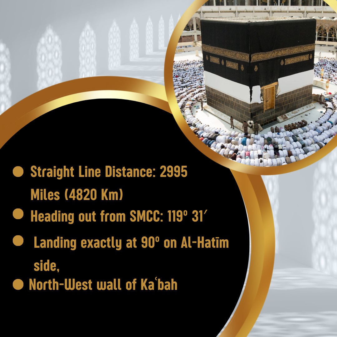
Before commencement of construction in 2001, the Steering Committee appointed two independent people to determine exact direction of the Ka'bah. One was asked to use Trigonometric method, while other used Magnetic method to find the true direction. On the day of laying the first brick, both arrived on-site and produced their independent calculations. Both the calculations were found to be in agreement with each other and the Masjid was built perfectly facing Qiblah.
All or part of the following information is used to determine Salat Times:
Great Britain Grid Reference - TL 251 257
Geo Coordinates: 51.915949, -0.181703
Latitude: 51° 54' 58.4" N
Longitude: 0° 10' 56.1" W
Eastings: 525000m
Northings: 225900m
Grid North is: 1° 26'E of True North
Magnetic North is: 1° 24'W of True North and: 2° 50'W of Grid North
Magnetic Declination:
Magnetic North is estimated to be 1 deg 50 min West of grid North
(British National Grid) at this location in April 2019 (source British Geological Survey)
Magnetic declination: 1° 50' WEST
Declination is NEGATIVE (West)
Inclination: 66° 48'
Magnetic field strength: 48757.0 nT
0.17° W ± 0.37° changing by 0.19° E per year
(above values are up-to-date according to The US/UK World Magnetic Model WMM2015V2)